


Buscador
-
 ES
ES
Caminar entre cumbres y cauces
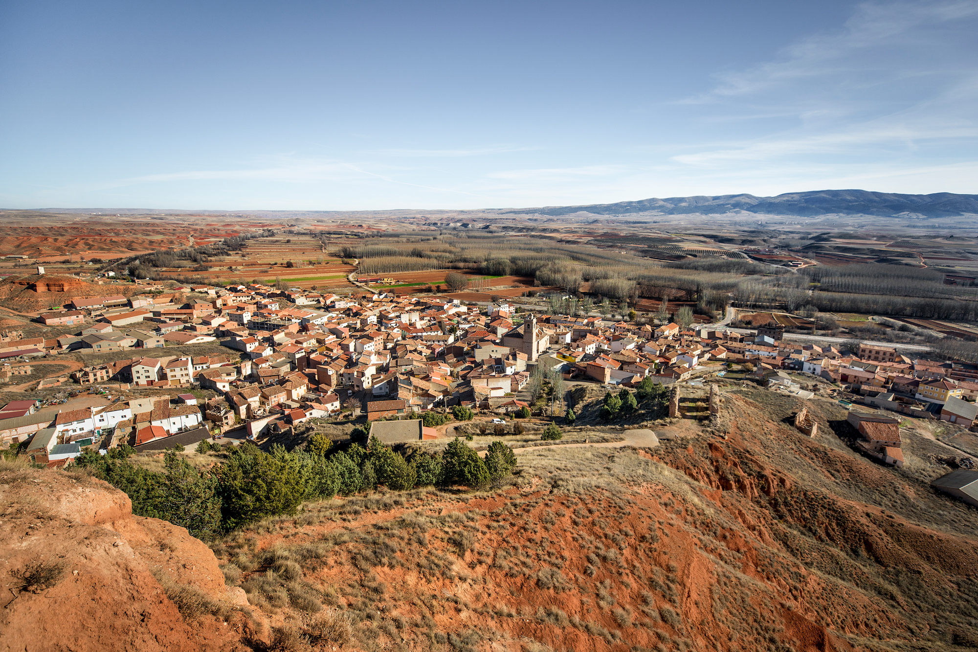
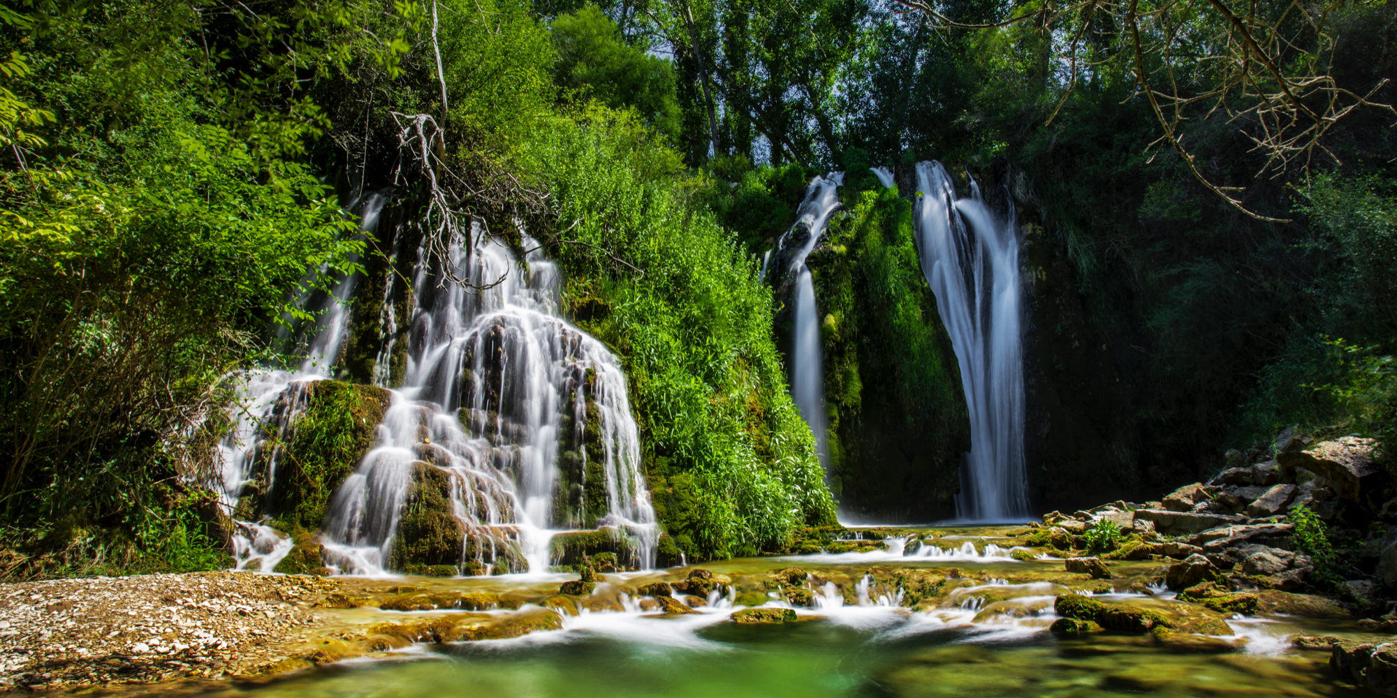
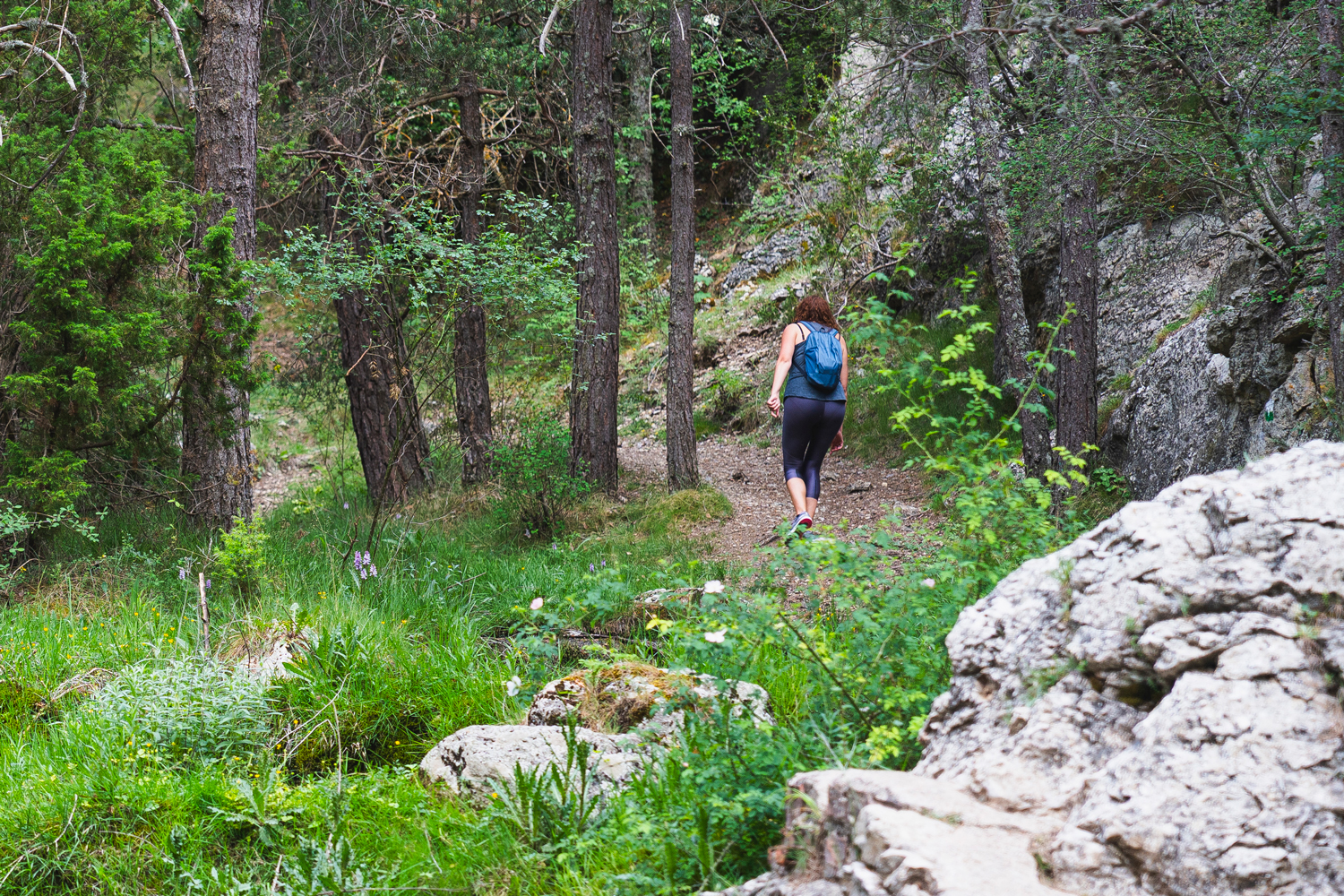
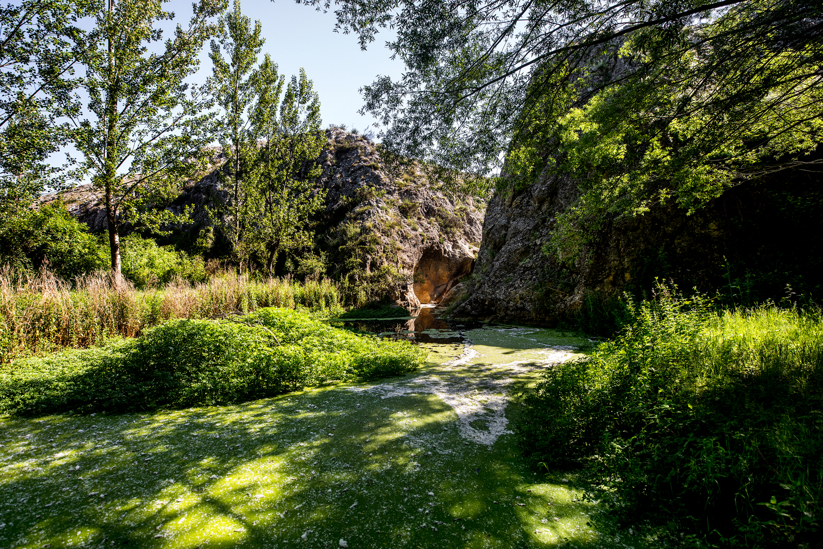
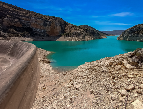
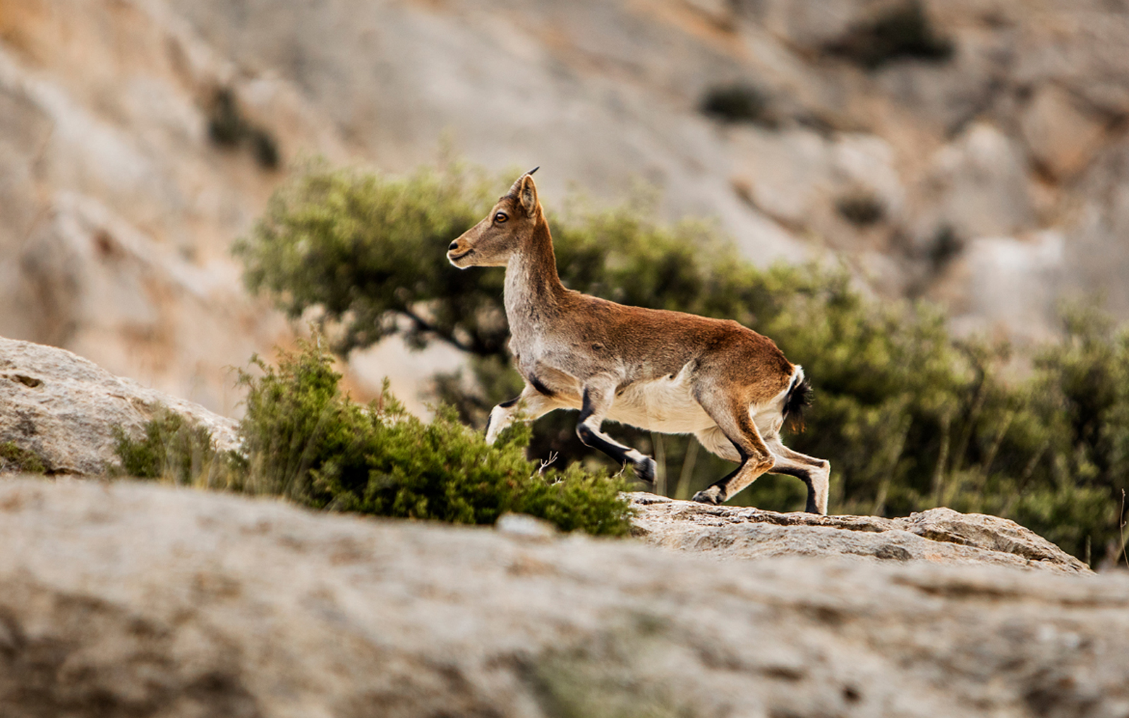
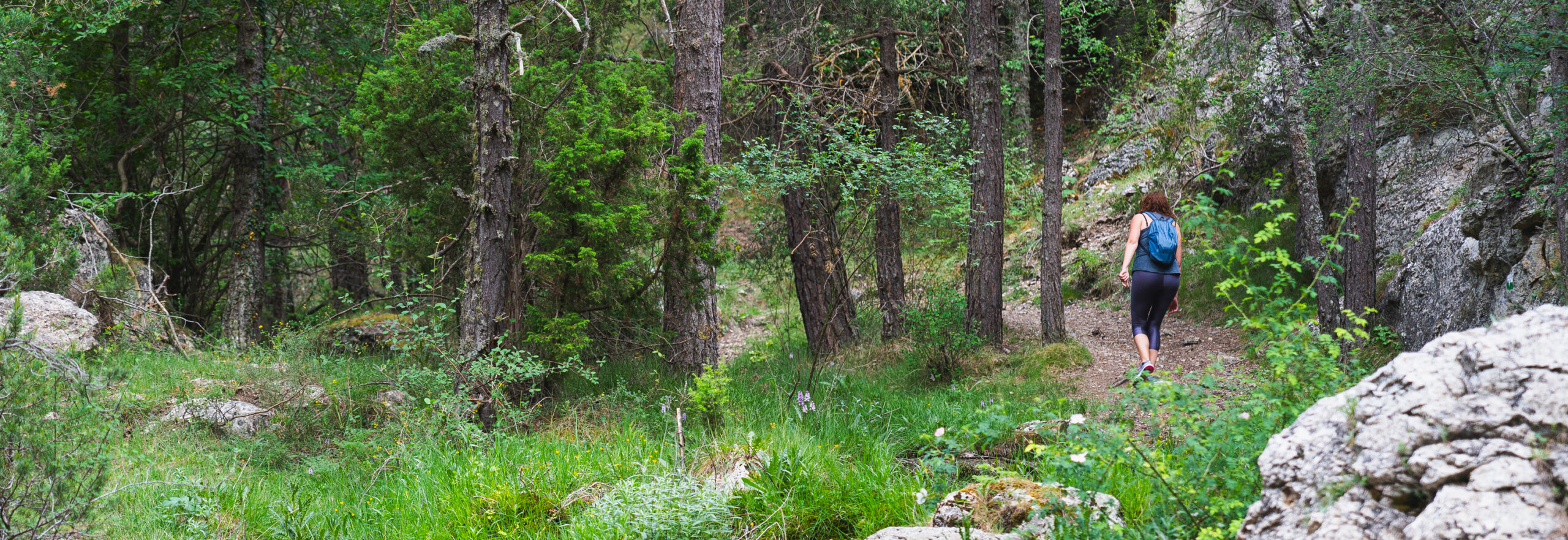
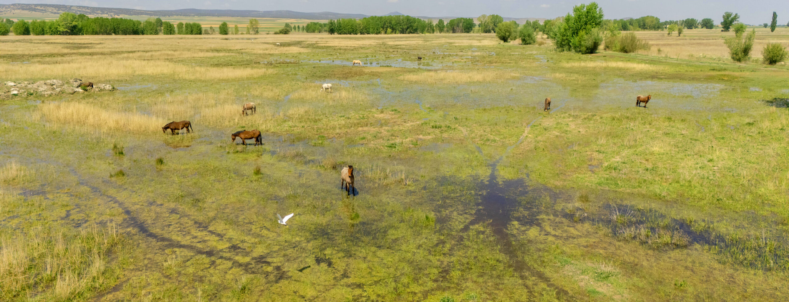
Los senderos de la Comarca Comunidad de Teruel recorren un territorio diverso, donde las sierras y los espacios abiertos se alternan con ríos, barrancos y humedales. Caminos que discurren en altura y rutas que acompañan el curso del agua, atravesando paisajes donde el silencio y la calma marcan el paso.
Son rutas a pie saludables, asequibles para todas las edades, paseos que invitan a agudizar la atención para fijarse en los detalles, los sonidos, los reflejos en el agua y los cambios de luz. Basta con marcarse una meta, identificar qué municipios e hitos imprescindibles se quieren visitar y dejarse llevar por la sensación liberadora de estar en contacto con el entorno natural, sincronizando el ritmo del grupo con el del paisaje.
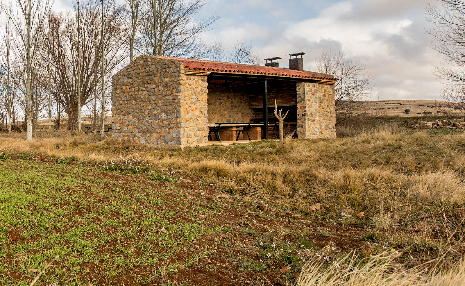
El catálogo de rutas de la Comarca Comunidad de Teruel es amplio y variado. Un abanico de propuestas senderistas para caminar rozando el cielo, andar en compañía de agua, disfrutar de un día de campo o descubrir rincones ocultos. Hay caminos de todas las tallas: sencillas rutas de corto recorrido aptas para todas las edades, senderos locales y otros de gran recorrido, con distintos niveles de dificultad y severidad del medio natural. Hay incluso rutas para atravesar todo el territorio a pie, en varias etapas.
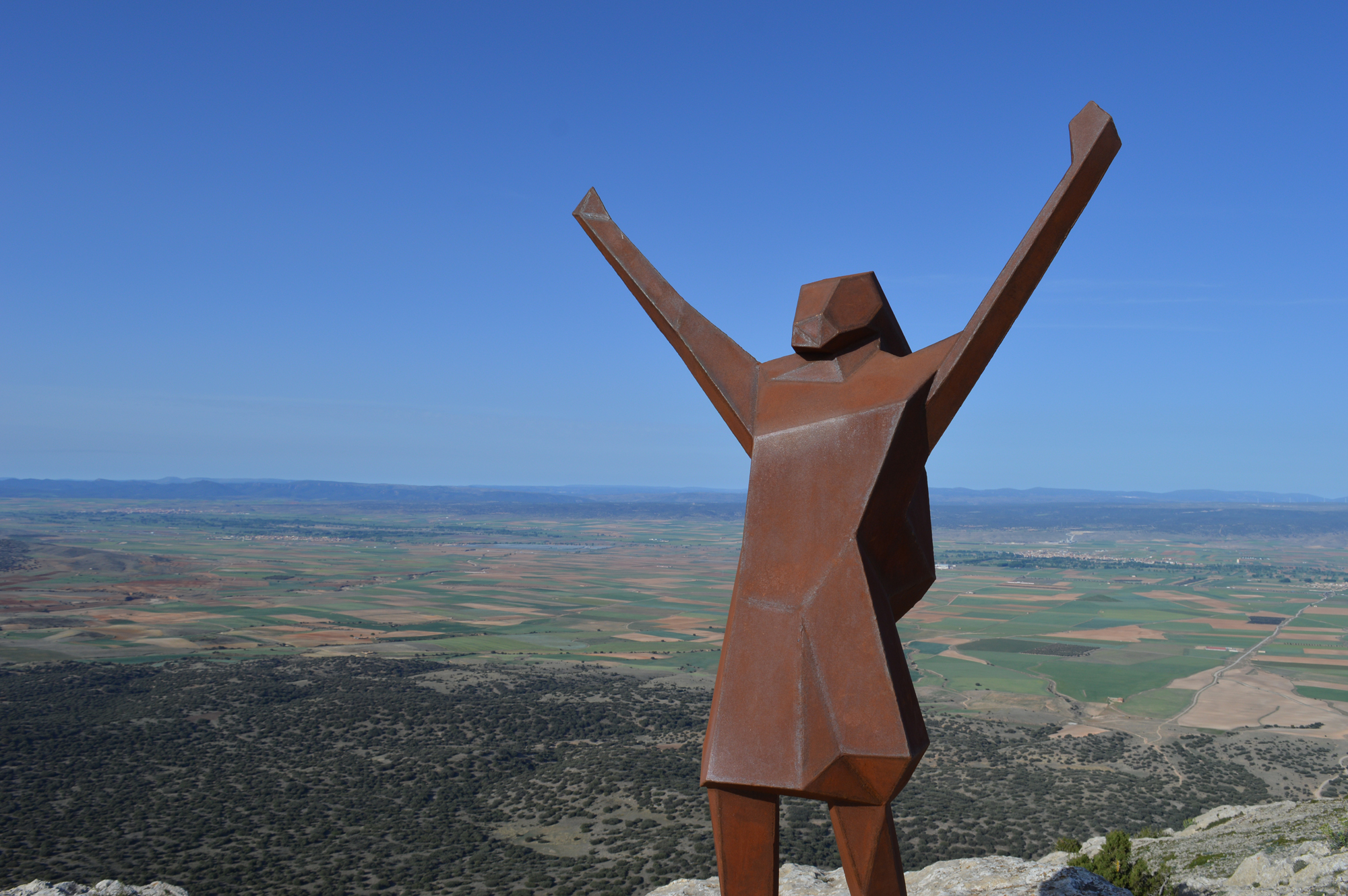
Ponte en marcha, fluye con el paisaje y disfruta de la serenidad, la exploración y la conexión que te brinda el senderismo.
-
-
Filtrar por municipio
- Filtrar por municipio
- Aguatón
- Alfambra
- Almohaja
- Argente
- Camañas
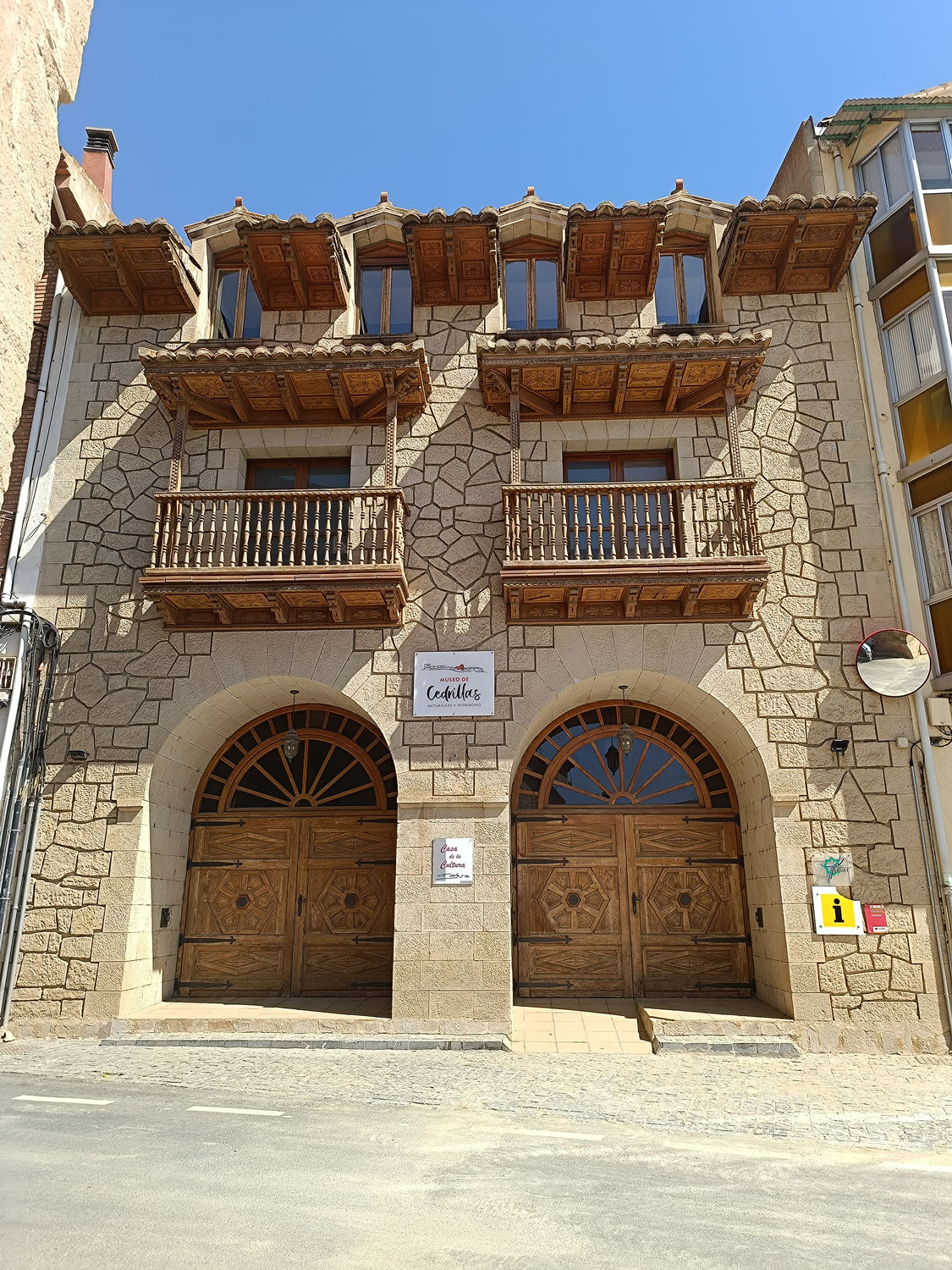
- Cedrillas
- Celadas
- Cella
- Corbalán
- Cubla
- El Cuervo
- El Pobo
- Escorihuela
- Fuentes Calientes
- Galve
- Jorcas
- Libros
- Lidón
- Orrios
- Pancrudo
- Perales del Alfambra
- Riodeva
- Santa Eulalia del Campo
- Teruel
- Tormón
- Torremocha de Jiloca
- Tramacastiel
- Valacloche
- Veguillas de la Sierra
- Villel
- Listado
- Mapa
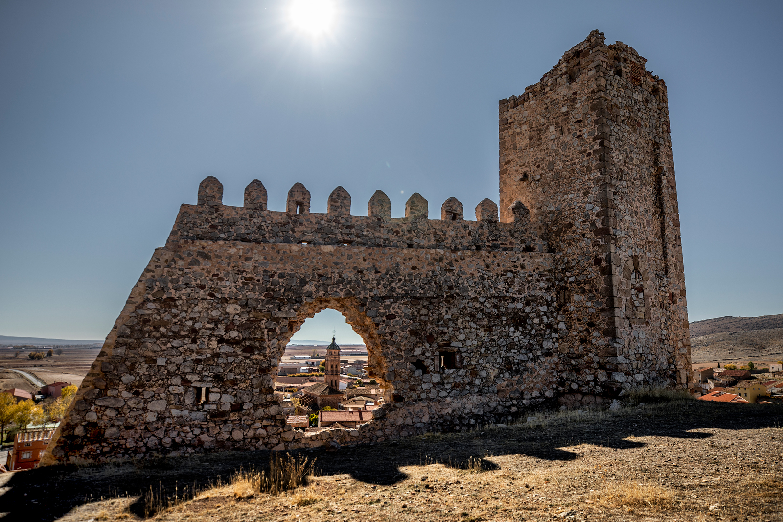
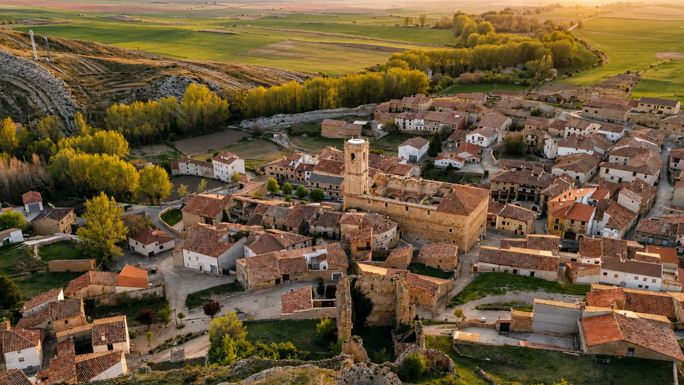
Recorre senderos cargados de tradición, admira la belleza de
nuestras torres mudéjares y sumérgete en el legado cultural
de una tierra fascinante.
